Disclosure: As an Amazon Associate, HikePod earns from qualifying purchases at no extra cost to you.
⭐ Our Top Pick
🏆 Best Overall: Gaia GPS — unmatched map layer depth, rock-solid offline performance, and the most powerful route-planning tools make it the serious hiker's definitive choice in 2026.
💰 Best Value: OnX Backcountry — at $29.99/year with stellar offline maps and land ownership data, it delivers premium navigation without the premium price tag.
Introduction
Your phone is now the most capable piece of navigation gear you'll ever carry — but only if you've loaded the right app before you lose signal. In 2026, the three apps dominating every trail conversation are AllTrails, Gaia GPS, and OnX Backcountry. Each one has a loyal following, and each one does something the others don't. The wrong choice means fumbling with a map that won't load at 11,000 feet. The right choice means you always know exactly where you are.
We've spent hundreds of miles testing all three apps across desert slot canyons, alpine ridgelines, dense Pacific Northwest forest, and everything in between. We've stress-tested their offline modes, pushed their route-planning tools to the limit, and compared subscription costs dollar-for-dollar. What follows is the most thorough comparison of these three apps you'll find anywhere.
Our short answer: Gaia GPS wins for backcountry and technical hikers, AllTrails wins for community-driven trail discovery, and OnX Backcountry wins on land ownership and value. Read on to find out which one belongs on your phone.
💡 Pro Tip: No app replaces physical navigation skills. Before your next big trip, toss a Suunto A-10 Field Compass in your pack. It costs under $20, weighs almost nothing, and works when your phone battery dies.
What to Look For in a Hiking App
Before we get into the head-to-head, here's what actually matters when choosing a hiking app:
- Offline map quality — Cell signal disappears fast in the backcountry. Your app must download detailed, navigable maps for use with zero connectivity. Tile resolution, coverage area, and download speed all vary significantly.
- Map layer variety — A good app goes beyond the base topo. Look for satellite imagery, USGS quads, slope angle shading, weather overlays, and custom layer imports (GPX, KMZ).
- Trail database depth — How many trails are in the system? Are they accurate? Do they include current conditions from recent users? This matters most for trip discovery.
- Route planning tools — Can you draw custom routes off-trail? Import GPX files from other sources? Set waypoints and share them with trip partners?
- Community and crowdsourcing — User photos, reviews, and recent condition reports can be the difference between a great day out and arriving at a trailhead that's still buried in snow.
- Subscription price and value — All three apps have free tiers with meaningful limitations and paid tiers that unlock their best features. We'll break down exactly what each dollar buys you.
App Deep-Dives
Gaia GPS
| Criteria | Score |
|---|---|
| Offline Map Quality | 10/10 |
| Map Layer Variety | 10/10 |
| Route Planning Tools | 9/10 |
| Ease of Use | 7/10 |
| Value for Money | 8/10 |
Gaia GPS has been the gold standard for serious navigation since its early days, and the 2026 version is its most capable yet. The headline feature remains the map layer library — we counted over 200 available map sources, including USGS topo quads, Esri satellite, MVUM (Motor Vehicle Use Maps), Thunderforest Outdoors, slope angle shading for avalanche awareness, and real-time weather radar overlays. No other app comes close.
Offline maps are where Gaia truly earns its reputation. You can download entire states worth of topo data at full resolution, and those maps work flawlessly without any signal whatsoever. On a recent trip to a remote stretch of the Wind River Range in Wyoming — three days from the nearest cell tower — Gaia never missed a beat. The app tracked our position via GPS hardware (no cell signal needed), displayed our custom route, and showed elevation profiles in real time.
Route planning is equally impressive. You can draw routes freehand on the map, snap to existing trails, or import GPX files from sources like CalTopo or Strava. The waypoint system is intuitive, and sharing a planned route with your hiking group via a link takes about ten seconds. The 2026 update added a slope angle heat map overlay and improved weather integration, pulling hourly forecasts for any point along your route.
The honest trade-off is the learning curve. Gaia's power comes with complexity. New hikers sometimes feel overwhelmed by the interface, and the settings menu is deep. Give it two or three outings and it clicks — but AllTrails will feel more natural on day one.
✅ Pros:
- The most comprehensive map layer library of any hiking app, period
- Offline maps that actually work at full resolution deep in the backcountry
- Custom route drawing, GPX import/export, and seamless CalTopo integration
- Slope angle shading and avalanche terrain tools baked in
❌ Cons:
- Interface has a learning curve that can frustrate casual hikers
- Full map layer access requires the $39.99/year Premium subscription
- Trail community is smaller than AllTrails, so user reviews are thinner on popular day hikes
---
AllTrails Pro
| Criteria | Score |
|---|---|
| Trail Database Depth | 10/10 |
| Community & Reviews | 10/10 |
| Ease of Use | 9/10 |
| Offline Map Quality | 7/10 |
| Backcountry Capability | 6/10 |
AllTrails is the app that introduced millions of people to trail hiking, and in 2026 it's still the biggest community platform in the space. The database now includes over 400,000 trails across 100+ countries, every one of them tagged with difficulty rating, distance, elevation gain, trail type (loop, out-and-back, point-to-point), and dozens of filters like dog-friendly, wheelchair accessible, and kid-friendly.
What AllTrails does better than anyone is community. A busy trailhead on a sunny weekend generates dozens of recent reviews, photos, and condition updates within hours. Knowing that the creek crossing on mile 4 is currently knee-deep, or that the summit view is completely socked in, is genuinely useful information that no map layer can give you. This real-time crowdsourcing is AllTrails' killer feature and the reason it retains such a passionate user base.
The Pro tier ($35.99/year) unlocks offline maps, a print-quality map download, and an elevation profile on every trail. The offline maps work well on established trails within the app's database — but they're essentially the AllTrails trail layer laid over a topo base. If you want to navigate off-trail or plan a custom route through unmapped terrain, you'll quickly hit AllTrails' ceiling. It's a trail-following app, not a terrain-navigation app.
For the hiker who sticks to marked trails and values community intel, AllTrails Pro is exceptional. For anyone venturing into genuine backcountry, it's a starting point for research, not a primary navigation tool.
✅ Pros:
- 400,000+ trails with the most accurate difficulty ratings and user photos in the industry
- Beginner-friendly UI that new hikers pick up in minutes
- Real-time condition reports and reviews are genuinely trip-saving
- Best app for discovering new trails you didn't know existed
❌ Cons:
- Offline maps only available on the paid Pro tier
- Not designed for off-trail or technical backcountry navigation
- Map layer options are minimal compared to Gaia GPS
---
OnX Backcountry
| Criteria | Score |
|---|---|
| Land Ownership Data | 10/10 |
| Offline Map Quality | 8/10 |
| Route Planning Tools | 8/10 |
| Trail Community | 6/10 |
| Value for Money | 9/10 |
OnX built its reputation on land ownership maps for hunters, and Backcountry brings that same DNA to hiking. The killer feature is the property boundary layer — you can see at a glance whether any given acre is federal land, state land, private property, or tribal territory. For hikers exploring less-documented areas in the western US, this is genuinely invaluable. We've used it to identify legal access routes to trailheads that cross private land, saving significant detours.
Beyond the ownership data, OnX Backcountry is a polished, capable navigation app. The interface is cleaner than Gaia GPS, offline map downloads are fast, and the trip-planning tools are well-designed. You can create detailed trips with waypoints, track segments, and notes, then share the whole thing with your group. The 2026 version added 3D map visualization and improved weather integration that rivals Gaia's.
Where OnX trails Gaia is in raw map layer depth. The selection is good but not overwhelming — USGS topo, satellite, and a few weather layers cover most use cases, but you won't find the 200+ layer library that Gaia offers. And the trail community is still growing; popular trails have decent review counts, but anything off the beaten path is likely to have zero user submissions.
At $29.99/year — $10 less than Gaia — OnX represents outstanding value for hikers who want serious offline navigation without paying for features they'll never use.
✅ Pros:
- Best land ownership and public/private boundary data of any hiking app
- Clean, intuitive interface that strikes a balance between power and accessibility
- Strong offline performance with fast map downloads
- Best price among the three premium apps
❌ Cons:
- Trail community reviews are sparse compared to AllTrails
- Map layer library is narrower than Gaia GPS
- Less known outside North America — international coverage is thinner
Frequently Asked Questions
Can I use hiking apps without cell service?
Yes — all three apps support offline maps, but you must download them before you lose signal. Gaia GPS and OnX Backcountry both allow generous offline downloads on their paid tiers. AllTrails offline maps require the Pro subscription. GPS positioning on your phone uses satellite hardware, not cell signal, so your blue dot still moves accurately even with airplane mode on.
Is AllTrails free enough for most hikers?
AllTrails' free tier gives you access to the trail database, user reviews, and basic navigation while you have a signal. For day hikes on popular trails where you'll have some connectivity, the free version works. But for anything remote, the Pro offline maps are worth the $35.99/year — that's less than $3/month for peace of mind.
Do I still need a dedicated GPS device if I have a hiking app?
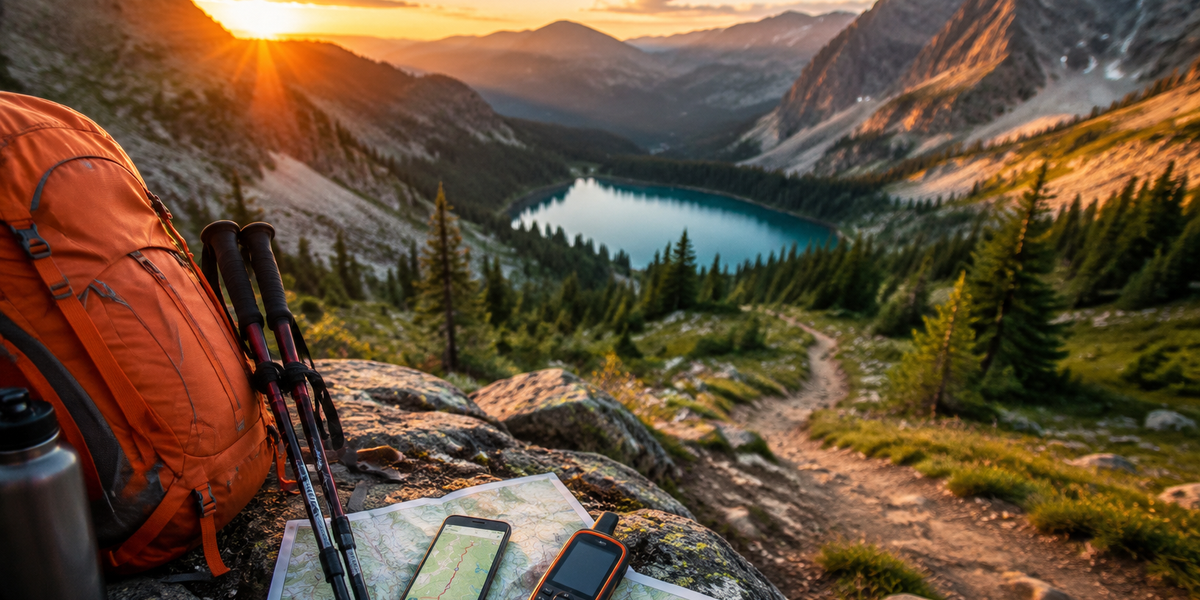
For most hikers on established trails, a good app on a fully charged phone is sufficient. But if you're deep in the backcountry for multiple days, a dedicated device adds redundancy that matters. The Garmin eTrex 22x runs 25 hours on two AA batteries, loads TopoActive maps out of the box, and keeps working when your phone dies. For multi-day wilderness trips, we carry both.
What's the best hiking app for international travel?
Gaia GPS has the broadest international map coverage thanks to its wide library of map sources. AllTrails has strong international trail databases in popular regions like the European Alps, Patagonia, and New Zealand. OnX Backcountry is primarily North America-focused. For trips to remote international destinations, Gaia GPS is our recommendation.
Is satellite communication worth it for day hikes?
For most day hikes on popular trails, probably not. But if you regularly hike alone, venture into remote terrain, or travel to areas with spotty SAR response, the Garmin inReach Mini 2 ($349.99 + subscription) provides two-way satellite messaging and a dedicated SOS button that works anywhere on Earth. It's the kind of gear you buy hoping never to need it.
Final Thoughts
In 2026, there's no single "best" hiking app — there's the best app for your type of hiking. If you're a weekend trail hiker who wants to discover new routes and read recent conditions, AllTrails Pro is your match. If you're a backcountry explorer who needs the most powerful offline maps and terrain data available, Gaia GPS is worth every penny of its $39.99/year. And if you want a clean, capable app with unmatched land ownership data at the lowest subscription price, OnX Backcountry delivers.
Our honest recommendation: download all three free tiers, take them on your next couple of hikes, and see which interface feels natural to you. Then commit to the paid tier of your winner — offline maps are not a luxury in the backcountry, they're a safety essential. Pair your app of choice with a backup plan — a physical compass, a downloaded map, and a satellite communicator on serious trips — and you'll be navigating with confidence wherever the trail leads.
Editor's Choice
Garmin inReach Mini 2 Satellite Communicator — because no hiking app works when you're in a true emergency outside cell range, and this two-way satellite SOS device is the safety layer every serious hiker needs alongside their navigation app.
Garmin eTrex 22x Handheld GPS — the ideal dedicated backup for multi-day backcountry trips when you need a 25-hour battery and preloaded TopoActive maps that don't depend on your phone staying charged.
Suunto A-10 Field Compass — a $20 insurance policy that every hiker should carry, because knowing how to orient a topo map with a baseplate compass is still the most reliable navigation skill you can have when technology fails.