Disclosure: As an Amazon Associate, HikePod earns from qualifying purchases at no extra cost to you.
⭐ Our Top Pick
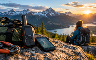
🏆 Best Overall: Garmin inReach Mini 2 — two-way satellite messaging and SOS for when offline maps aren't enough and you need to communicate from the backcountry.
Introduction
You're three miles into a remote trail when your phone signal drops to zero. If you're relying on AllTrails without offline maps, you've just lost your navigation. We've compiled this guide based on manufacturer documentation, verified user reviews, and platform specs to help you avoid that exact scenario. AllTrails offers robust offline map functionality through its AllTrails+ subscription, letting you download detailed trail maps before you leave the trailhead and navigate confidently even in dead zones.
This step-by-step guide walks you through downloading offline maps on iOS and Android, explains what to do when things go wrong, and covers the backup navigation tools serious hikers carry. Whether you're day-hiking local trails or embarking on multi-day backpacking trips, knowing how to use AllTrails offline is essential. And if you're looking for additional safety gear beyond your phone, our guide to the best satellite communicators without monthly fees covers one-time purchase options that work anywhere on the planet.
Let's make sure you're never lost without a map again.
What to Look For
AllTrails+ Subscription — Offline maps require an AllTrails+ membership ($35.99/year as of 2026). The free version lets you view trails online but won't allow downloads. If you hike regularly in areas with spotty cell coverage, the subscription pays for itself in peace of mind.
Storage Space on Your Device — Each offline map consumes 50–200 MB depending on the trail length and surrounding area. Check your phone's available storage before downloading multiple maps. A dozen trail maps can easily consume 1–2 GB.
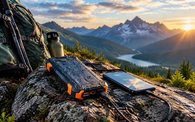
Battery Management — GPS drains your battery faster than casual phone use. Bring a fully charged power bank and enable Low Power Mode (iOS) or Battery Saver (Android) to extend runtime. We recommend a rugged, waterproof power bank for hiking—see our roundup of the best rugged power banks for hiking for drop-proof options tested on long trails.
Download Before You Leave — Always download maps over Wi-Fi at home or in your hotel, not in the parking lot where cell signal may already be weak. Pre-download every trail you might explore, including backup routes.
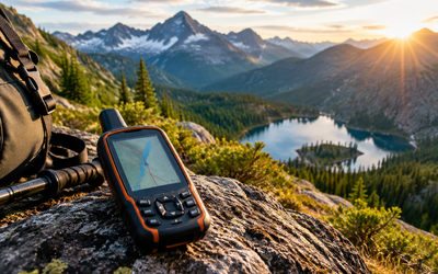
Backup Navigation Tools — Your phone is not infallible. Serious backcountry hikers carry redundant navigation: a Garmin eTrex 22x Handheld GPS with preloaded TopoActive maps and 25-hour battery life, or a classic Suunto A-10 Field Compass that never runs out of power.
Test Your Setup — Walk around your neighborhood with airplane mode enabled to confirm the offline map displays correctly and your GPS location updates. Don't wait until you're on the trail to discover a problem.
How to Download Offline Maps on iOS
Step 1: Open the AllTrails App and Find Your Trail
Launch AllTrails and search for the trail you plan to hike. Tap on the trail listing to open the detail page. You'll see the trail name, distance, elevation gain, and user reviews.
Step 2: Tap the Download Icon
On the trail detail page, look for the download icon (a downward arrow inside a circle) in the upper right corner, next to the share and favorite icons. Tap it once.
Step 3: Select Your Map Area
AllTrails will display a preview of the downloadable map area. You can adjust the boundary by pinching to zoom or dragging the map. The app shows the file size in the lower left corner—larger areas consume more storage. Once you're satisfied with the coverage, tap "Download Map."
Step 4: Wait for the Download to Complete
A progress bar appears at the top of the screen. Don't close the app or let your phone sleep until the download finishes. Once complete, a green checkmark replaces the download icon, confirming the map is saved locally.
💡 Pro Tip: Download maps for adjacent trails and connector routes. If you miss a turn or decide to extend your hike, you'll have navigation coverage.
Step 5: Access Your Offline Maps
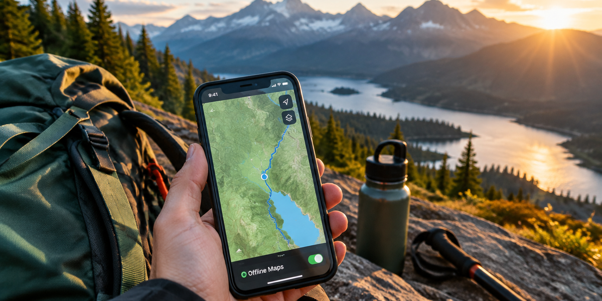
Tap the "Maps" tab at the bottom of the screen, then select "Offline Maps" from the menu. You'll see a list of all downloaded maps. Tap any map to view it. Your GPS location updates in real time even without cell service.
How to Download Offline Maps on Android
Step 1: Open AllTrails and Navigate to the Trail Page
Launch the AllTrails app and search for your trail. Tap the trail listing to open the full detail view.
Step 2: Tap the Three-Dot Menu
In the upper right corner of the trail detail page, tap the three-dot overflow menu icon. A dropdown appears with several options.
Step 3: Select "Download Map"
From the dropdown menu, tap "Download Map." AllTrails displays a map preview with adjustable boundaries. Drag and pinch to customize the coverage area. The file size appears at the bottom.
Step 4: Confirm the Download
Tap the "Download" button. The app downloads the map in the background. You'll see a notification when the download completes. Don't force-close the app during this process.
Step 5: View Your Offline Maps
Tap the hamburger menu icon (three horizontal lines) in the upper left corner of the app. Select "Offline Maps" from the sidebar. All downloaded maps appear here. Tap any map to open it and begin navigating.
💡 Pro Tip: Android users should disable battery optimization for AllTrails in Settings > Apps > AllTrails > Battery > Unrestricted. This prevents the OS from killing GPS updates during long hikes.
Managing and Deleting Offline Maps
Offline maps don't auto-delete, so your storage can fill up quickly if you download maps for every hike. To manage your library:
- iOS: Go to Maps > Offline Maps, swipe left on any map, and tap "Delete."
- Android: Open the hamburger menu, select Offline Maps, tap the three-dot menu next to any map, and choose "Delete."
AllTrails doesn't automatically update offline maps when trail conditions change. If you're revisiting a trail after several months, delete the old map and re-download it to get the latest user reports and trail closures.
Using AllTrails Offline: What Works and What Doesn't
What Works:
- Real-time GPS location tracking on the downloaded map
- Trail route display with waypoints and elevation profile
- Recording your hike (tracks distance, elevation, and time)
- Viewing saved photos and reviews you downloaded before going offline
What Doesn't Work:
- Searching for new trails or downloading additional maps
- Viewing live weather updates or trail alerts
- Accessing user-generated reviews or photos not previously cached
- Sharing your location with friends via the app's LiveShare feature (requires internet)
If you need to communicate your location in an emergency and have no cell signal, a satellite communicator is essential. The Garmin inReach Mini 2 offers two-way messaging and SOS anywhere on Earth, with 24/7 emergency response coordination. It requires a subscription plan, but it's the gold standard for backcountry safety. For more on how long these devices last on a single charge, check our battery life comparison of inReach, Zoleo, and SPOT units tested on multi-day hikes.
Troubleshooting Common Offline Map Issues
Map Won't Download: Ensure you have an active AllTrails+ subscription and sufficient storage space. Restart the app and try again. If the problem persists, clear the app cache (Android) or reinstall the app (iOS).
GPS Location Not Updating: Confirm Location Services are enabled for AllTrails in your phone's settings. On iOS, go to Settings > Privacy > Location Services > AllTrails and select "While Using the App." On Android, go to Settings > Apps > AllTrails > Permissions > Location and choose "Allow all the time" or "Allow only while using the app."
Downloaded Map Doesn't Cover the Entire Trail: You may have zoomed in too far when selecting the download area. Delete the map and re-download with a wider boundary.
App Crashes or Freezes: Restart your phone. If crashes continue, uninstall and reinstall AllTrails, then re-download your offline maps. Ensure your phone's OS is up to date.
Battery Drains Too Fast: Enable Low Power Mode (iOS) or Battery Saver (Android). Reduce screen brightness and close unused apps. Bring a backup battery—most serious hikers carry a 10,000+ mAh power bank.
Frequently Asked Questions
Can I use AllTrails offline without AllTrails+?
No. Offline map downloads require an AllTrails+ subscription ($35.99/year as of 2026). The free version only allows online map viewing, which stops working when you lose cell signal.
Do offline maps work with airplane mode enabled?
Yes. In fact, we recommend enabling airplane mode to conserve battery. Your phone's GPS receiver works independently of cellular or Wi-Fi—it receives signals directly from satellites. Airplane mode disables the power-hungry cellular radio while leaving GPS active.
How much storage do AllTrails offline maps use?
Each map consumes 50–200 MB depending on the trail length and surrounding area you download. A typical day hike map is around 100 MB. If you download 10 maps, expect to use roughly 1 GB of storage.
Will my offline maps update automatically?
No. AllTrails does not auto-update offline maps. If trail conditions change (closures, reroutes, new user reports), you must manually delete the old map and re-download it to get the latest information.
What happens if I hike outside the downloaded map area?
Your GPS location will still display, but the map background will show blank or low-detail tiles. Your position marker updates in real time, but you won't see trails, topography, or landmarks outside the downloaded boundary. Always download a generous buffer zone around your planned route.
Final Thoughts
AllTrails offline maps transform your smartphone into a reliable backcountry navigation tool—but only if you download them correctly and understand their limitations. We recommend downloading maps over Wi-Fi at home, testing your setup in airplane mode before you leave, and carrying backup navigation (a dedicated GPS unit or compass) for safety. Your phone's battery is finite, and electronics fail. The Sawyer Squeeze Water Filter System weighs 3 ounces and filters 0.1 micron contaminants—it's the one piece of gear every hiker should carry, because staying hydrated keeps you sharp when navigation gets tricky.
Now you're ready to hit the trail with confidence, even when the cell towers disappear.
Editor's Choice
Garmin inReach Mini 2 Satellite Communicator — When offline maps aren't enough and you need to send an SOS or check in with family from the backcountry, this compact satellite communicator works anywhere on Earth.
Garmin eTrex 22x Handheld GPS — A dedicated GPS unit with 25-hour battery life and preloaded TopoActive maps—perfect for hikers who want navigation that doesn't depend on a smartphone.
Suunto A-10 Field Compass — Old-school reliability for $20—no batteries, no software updates, just a liquid-filled compass that works when everything else fails.